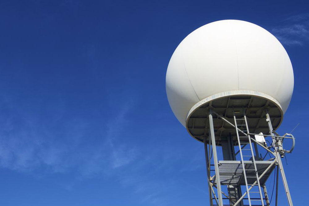
Weather radar and their role in weather prediction
Also called as weather surveillance radar (WSR) or Doppler weather radar, Weather radar, are the ones that are used to locate precipitation, calculate its motion, and estimate its type (rain, snow, hail etc. weather radars that are manufactured nowadays are mostly pulse-Doppler radars. These weather radars are capable of detecting rain droplets motions. They are also capable of measuring the intensity of the precipitation. These types of data can be used to determine the structure of storms and their potential to cause severe weather.
Radar operators during World war II noticed that weather parameters were causing echoes in the signals appearing on their screen, which masked potential enemy targets.

Weather radars use microwave radiation as their source of propagation. They send directional pulses that are of the order of a microseconds using a cavity magnetron or klystron tube that is connected to a parabolic antenna.
Shorter wavelengths are useful for smaller particles, but the signal is more quickly attenuated. Thus 10 cm (S-band) radar is preferred although expensive than a 5cm C-band system. 3cm X-band radar is used only for short-range units, and 1cm Ka-band weather radar is used only for research on small-particle phenomena such as drizzle and fog.
Radar pulses spread out as they move away from the radar station. Thus the volume of air that a radar pulse is traversing is larger for areas farther away from the station, and smaller for nearby areas, decreasing resolution at far distances. At the end of a 150 200 km sounding range, the volume of air scanned by a single pulse might be on the order of a cubic kilometer, which is called pulse monitoring.

